3D Laser Scanning
Comprehensive. Accurate. Faster Turnaround Times.
3D Laser Scanning is Changing How Companies Manage Their Projects and Assets
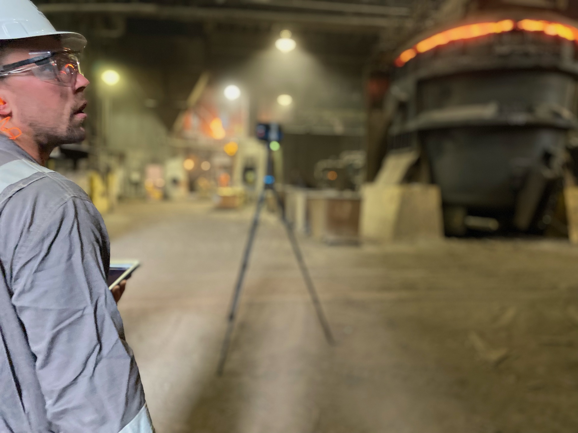
As a software and hardware agnostic company, we use best-in-class tools and technologies to deliver high quality 3D deliverables ranging from Point Clouds to BIM. And it is through our 3D laser scanning services that we enable better collaboration between architects, engineers, general contractors, and the project owners. Whether you seek BIM Modeling of existing conditions or verification of work during construction, we have you covered!

Highly accurate data collection procedures in the most complex, challenging environments
Construction Verification
Enable all stakeholders involved with accurate and appropriate data from field measure to construction verification or as-built. Our 3D laser scanning services of interiors and exteriors are highly accurate (MM level) and support decisions during the stages of design, space definition, prefabrication, construction and dimensional control. Whether you are an asset owner/manager or a construction firm, the one that finishes with the best data wins.

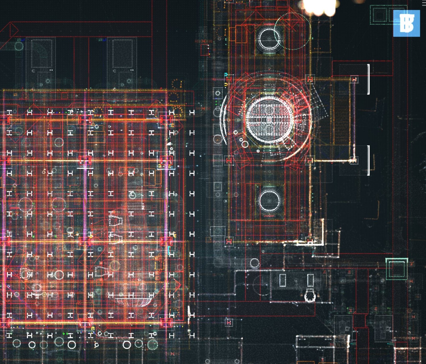
A example of point cloud to blueprint for Construction Verification Project

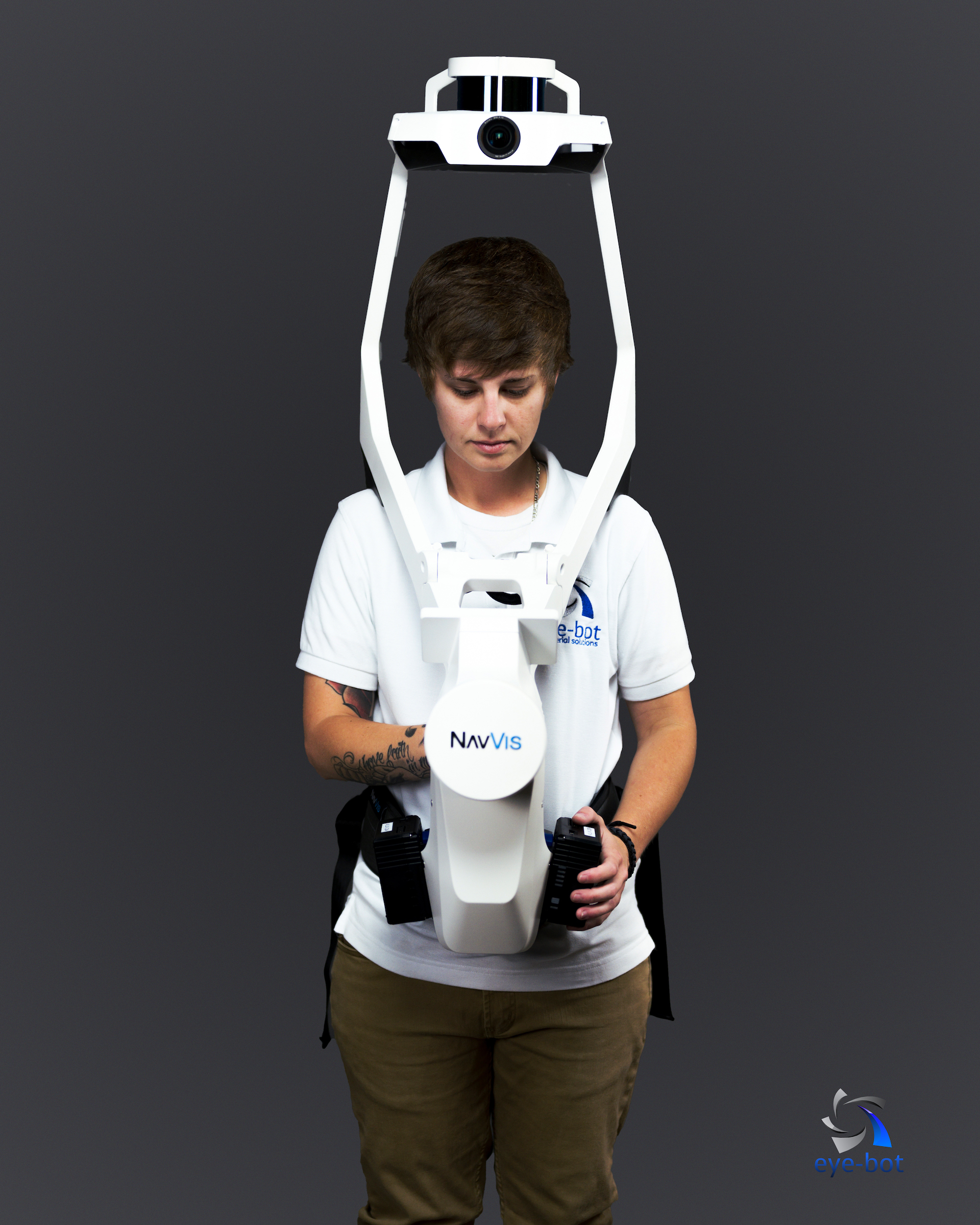
Eye-bot utilizes the NAVIS VLX to perform 3D Laser Scanning
Save Time. Save Money with NAVIS VLX.
The future is now. Eye-bot team members have been spotted mobile mapping in the NavVis VLX. We are producing high-quality reality capture of complex buildings in a fraction of the time.
12,000 sq. feet warehouse:
½ hour with the NAVIS VLX vs.
8 hours with terrestrial laser scanning
Data Classes Available – Any or All
Data fusion available for any service;
daily minimums apply
Terrestrial Laser Scan
- 2-4mm accuracy
Mobile Mapping System
- CM Level Accuracy
- Up to 400k ft per day
Drone Scans
- 2-5 CM accuracy
Discover Best-in-Class Data.
Ready to get started?
