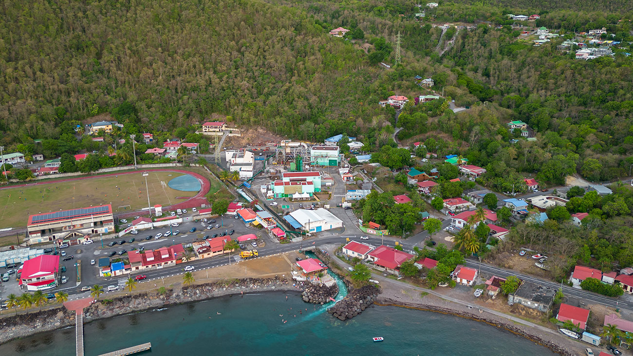
Enhancing Festival Planning with Drone Technology
Welcome to the future of festival planning, where Eye-bot’s drone technology plays a pivotal role in enhancing attendees’ overall experience and safety. As festivals grow in complexity and scale, the demand for innovative solutions to tackle logistical challenges becomes crucial.
Here, we explore the transformative impact of drone mapping on festival landscapes, making monumental events spectacular, safer, and more manageable.
The Impact of Drone Mapping on Festivals
Festival organizers face many challenges—from crowd management to emergency response planning. Drone mapping provides a high-resolution aerial view essential for comprehensive planning and real-time adjustments.
This technology allows for precise mapping of vast areas, identifying potential hazards and optimizing space usage, enhancing safety and attendee experience.
Creating Accurate 3D Models for Comprehensive Planning
The creation of detailed 3D models of festival grounds is a game changer. Eye-bot’s advanced drones capture high-quality data and process it into accurate 3D representations of the venue.
These models are the foundational layer for all subsequent planning phases, ensuring that every square foot of space is used efficiently. Their accuracy also supports the deployment of resources, helping to eliminate common logistical headaches.
Enhancing Simulation and Traffic Flow Analysis
Analyzing attendee movement and traffic flow before the event kicks off is crucial. The capabilities of the visual data Eye-bot captures allow festival planners to anticipate and prevent bottlenecks, ensuring smooth ingress and egress.
This proactive approach to crowd management boosts safety and enhances the attendee experience by minimizing delays and disruptions.
Utility Identification and Infrastructure Planning
Strategic planning extends to utilities and essential infrastructure. Eye-bot drones efficiently map out water lines, electrical grids, and other critical infrastructure, ensuring that all facilities can support large crowds.
Additionally, our drones analyze water flow to prevent flooding and other water-related issues, contributing to sustainable practices.
Stage Placement and Crowd Control Strategies
Choosing the optimal locations for stages, screens, and sound systems is more art than science when enhanced by drone data. Eye-bot’s precise mapping helps strategize stage placement to maximize visibility while maintaining safety.
The data also aids in designing effective crowd control measures and emergency evacuation routes, as highlighted by unfortunate past events, such as the GloRilla concert stampede in New York in September 2023.
Implementing Drone Technology in Festival Planning
Eye-bot simplifies the integration of drone services into your festival planning process. From initial terrain mapping to real-time crowd monitoring during the event, our step-by-step guide ensures that every phase of your festival is covered. Leverage our expertise to keep your festival one step ahead of potential challenges.
Eye-bot’s Expertise in Enhancing Festival Safety and Planning
With a track record of successful partnerships, Eye-bot’s capabilities stand at the forefront of festival planning and safety management.
Our experience and cutting-edge drone technology bring precision and innovation that sets our services apart. Discover how partnering with Eye-bot can elevate your festival planning to new heights.

