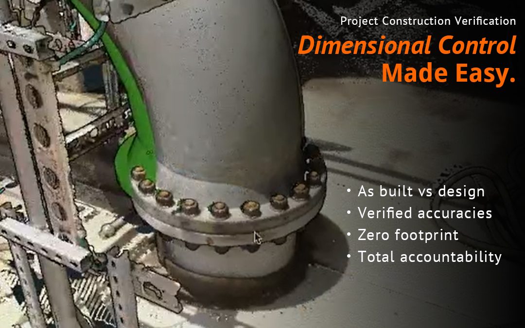
Control even more in your next capital project build, and beyond. It’s a hot potato topic, “Who takes responsibility for the dimensional control efforts?” Moving from planning to the construction phase, budgets are tended to mindfully ahead of kickoff, which is where...
Available OnDemand In a recent webinar with Virtuosity, a Bentley Company, Eye-bot discusses the advantages of drone photogrammetry over conventional surveying. Dakota Campbell, the Geospatial Analyst at Eye-bot Aerial Solutions, presented how Eye-bot successfully...
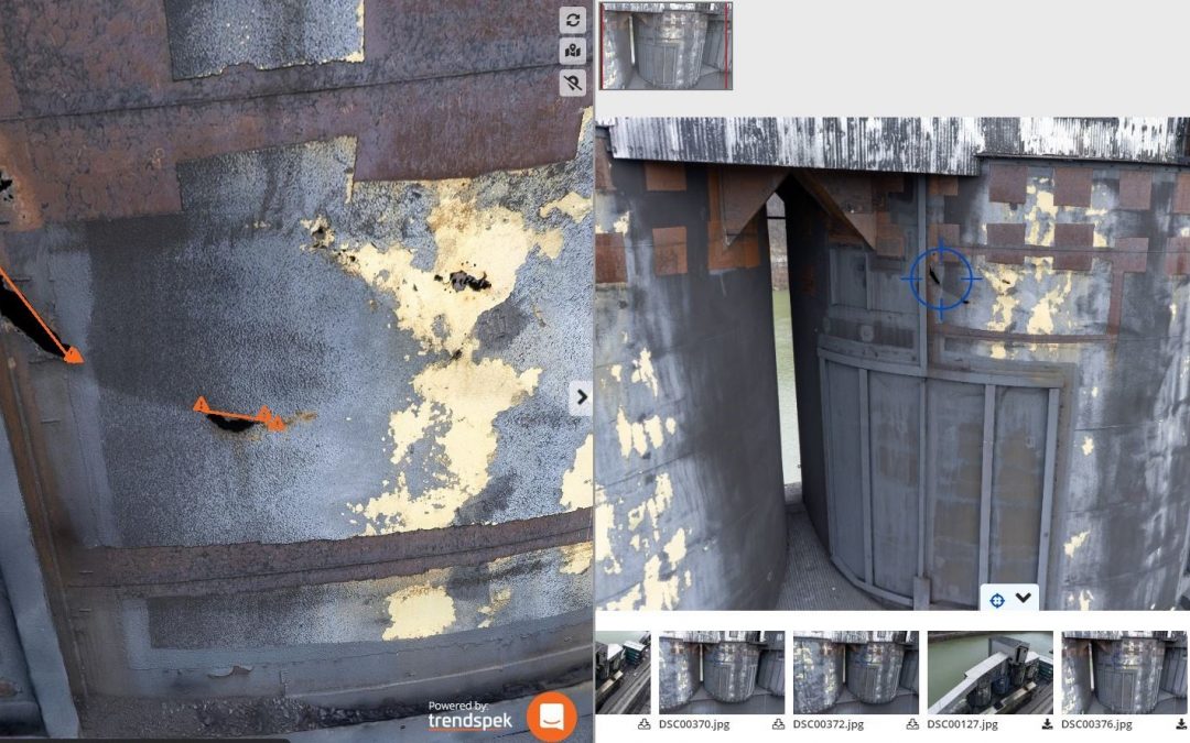
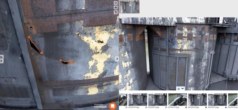
PROJECT OVERVIEW It can be argued that compliance either drives or hinders technological advancement. In this case study, Eye-Bot Aerial Solutions (Eye-Bot) demonstrates how the use of technology and survey-grade data deliverables provided NewFields, an...
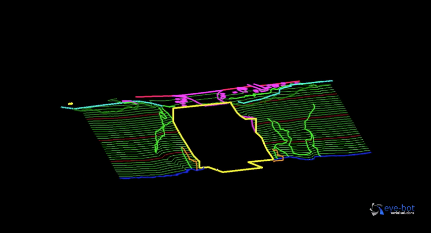
Project Intro It is no secret that slopes fail. Whether it is along a roadway, overtop a pipeline, on the side of a well pad, or, in this case study, adjacent to a water intake structure along a river, slopes fail and need to be stabilized. The geotechnical...
Predicting the future is a risky business… “Nuclear-powered vacuum cleaners will probably be a reality within ten years.” -Alex Lewyt, president of Lewyt vacuum company, 1955 …but that’s what a purveyor of technology does day-in and...
Drones are a great platform, or tool, for collecting large amounts of high-quality data. But there are many ways drone data collection services can collect and package that data from video, photographs, thermography, multispectral maps, and photogrammetry to 3D...